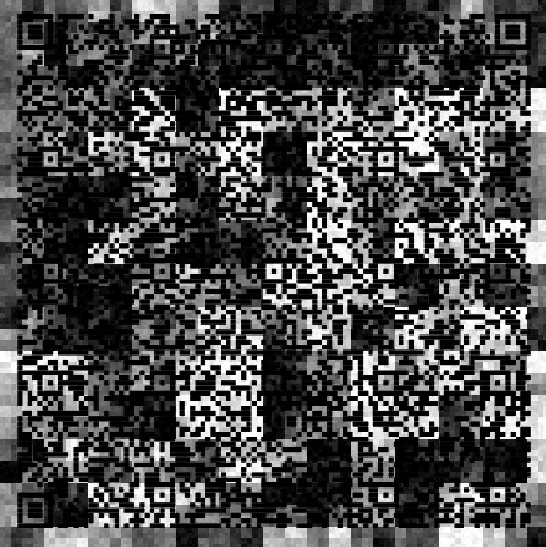
I was looking at my electronic Covid-19 vaccination
certificate the other day, and noticed the QR code. Then I
thought that could be the start of an elevation map too,
and why not?
We start with the QR code, slightly
modified for privacy. Use your own.
Rendered in PuppyRay
This can easily be rendered with extra
attributes such as bump maps or texture maps
We used an extra texture, something
like this. That's created in PD Howler after disabling
the weathering.
This one combines the QR Code with the
prior image, and we're zoomed in to a smaller subset.
Tried a few other combinations, edge
enhance and more,
Added slight light diffusion. That will
add a little bit of slopes. Or you can add smoothing
at the 3D level. Then... Rendered in Puppy Ray. (GPU)
Took the Crystalize filter on the
elevation map, then threshold filter and added some
hefty light diffusion. There is a bit more action on
the slopes
Took the map into 3D Designer and added
Erosion and coloring based on Slope and Elevation. Erosion map -
Color map, combined with erosion for
slight darkening in the eroded gullies/valleys)
Elevation map combined with erosion
Rendering now shows some green regions
in lower areas
Lower the terrain below the water line
and render with that
Animate it.
After the rendering of the animation
is completed, use it in a second (recursive)
rendering. The first rendering becomes the elevation
map of the second animation.